
Dholera lies in Dholera taluka of Ahmedabad district in Gujarat, on the western coast of the Gulf of Khambhat. The land is flat, low-lying coastal plain known locally as the Bhal, fringed by tidal flats and mangroves. Of a planned region of about 920 sq km, roughly 580 sq km is reported as developable and about 422 sq km as urban, with about a third of the developable land falling inside the Coastal Regulation Zone. The climate is broadly semi-arid with a monsoon influence, though exact long-term weather normals for the site are not reliably published. The flat, tidal terrain makes drainage and flood management a real, documented planning constraint for the city.
Dholera sits in Dholera taluka of Ahmedabad district in Gujarat, on the western coast of the Gulf of Khambhat, also spelled Cambay. The land is a flat, low-lying coastal plain known locally as the Bhal, edged by tidal flats and mangroves. Of a planned region of roughly 920 sq km, about 580 sq km is reported as developable and around 422 sq km as urban, with about a third of the developable land falling inside the Coastal Regulation Zone. The climate is broadly semi-arid with a monsoon influence. This page explains the terrain, the coast, the water and drainage picture, and the climate, using only sourced figures and flagging what is not reliably known.
Dholerapedia is an independent, neutral reference. It does not sell plots. Where a figure is reported or approximate rather than a settled fact, this page says so, and where a number is simply not published, it says that too instead of guessing.
Where Dholera sits
Dholera is roughly 100 km south-west of Ahmedabad and is now linked to the city by the roughly 109 km Ahmedabad-Dholera Expressway. Administratively it lies in Dholera taluka, which was carved out of the former Dhandhuka taluka, and the Special Investment Region is drawn from 22 villages of that taluka. The named list of all 22 villages is not reliably sourced in a single official document, so we treat the count as durable and the full list as unverified. For the settlement side of this, see our page on the villages of Dholera, and for the wider project frame, see what Dholera SIR is.
The Bhal: flat, low-lying coastal land
The defining feature of Dholera's geography is the Bhal. This is the flat, largely treeless coastal plain that runs along the head of the Gulf of Khambhat. It is low-lying, close to sea level, and shaped by the tides that push into the funnel-shaped gulf. Near the shore the land gives way to tidal flats and mangroves, which are ecologically sensitive and part of why so much of the region is regulated. This flatness is an asset for a planned city, because it makes wide, straight roads and a gridded layout easy to lay out, which is visible in the Dholera master plan. The same flatness is also the core challenge, because water does not drain away on its own.
The Coastal Regulation Zone constraint
Because Dholera faces the sea, a large share of its land falls under the Coastal Regulation Zone, the national framework that restricts what can be built close to the coast, tidal creeks and mangroves. On the reported figures, of roughly 580 sq km of developable land about a third sits within the CRZ, which is a meaningful limit on where and how the city can grow. This is one reason the planned envelope of about 920 sq km is much larger than the roughly 422 sq km treated as urban. The gap between the headline area and the buildable area is not a technicality, it is the coast doing what coasts do to a master plan.
Water, tides and drainage
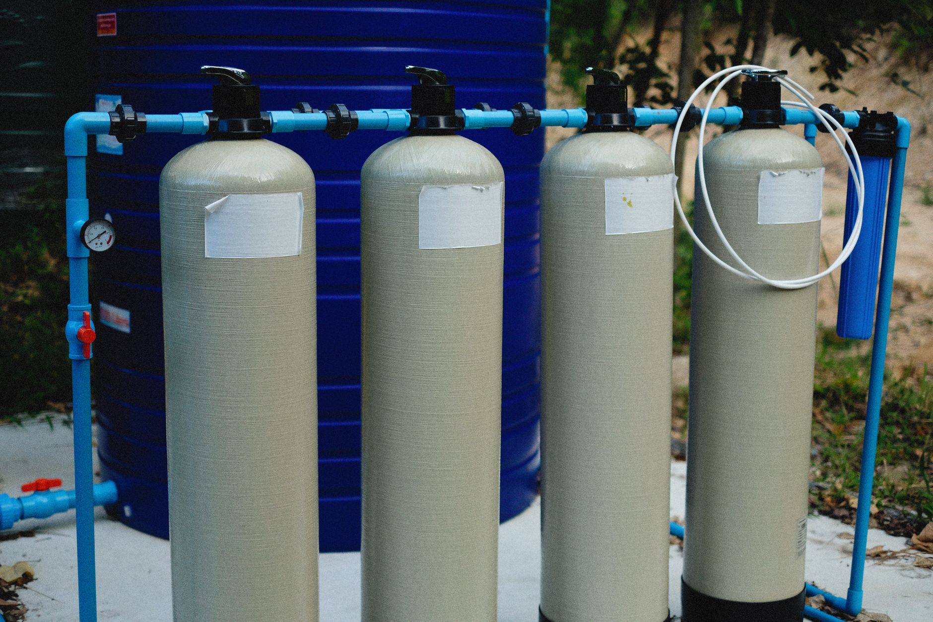
On flat coastal land close to sea level, drainage and flood management are not afterthoughts, they are the engineering spine of the city. This is a documented planning constraint for Dholera, not a rumour. The reported response in the first serviced patch, the Activation Area, is a designed drainage system: stormwater is channelled into a man-made canal, and the utilities include a water treatment plant with reservoirs and a recycled-water network. The idea is to lift, store and move water deliberately rather than rely on natural slope. Anyone reading marketing that treats the coast purely as a view should also read it as a reason the drainage design matters.
The climate
Dholera's climate is broadly semi-arid with a tropical-monsoon influence, in line with the coastal Saurashtra-fringe belt of Gujarat. That means hot summers, a concentrated monsoon window, and a relatively dry cool season. We deliberately stop short of publishing precise temperature or rainfall normals for the exact site, because reliable long-run weather normals specific to Dholera are not something we can source cleanly. Rather than repeat numbers that float around promotional pages, this page flags them as not reliably known. What is safe to say is that the monsoon is the main water event of the year, which loops back to why drainage design carries so much weight here.
Geography at a glance
The table below pulls the durable geographic facts into one place, with the reported or approximate items marked so you can weigh them accordingly.
| Attribute | Detail | Confidence |
|---|---|---|
| District and taluka | Ahmedabad district, Dholera taluka | Durable |
| Coast | Western coast of the Gulf of Khambhat | Durable |
| Terrain | Flat low-lying Bhal plain, tidal flats, mangroves | Durable |
| Distance from Ahmedabad | ~100 km south-west | Durable |
| Planned region | ~920 sq km | Reported |
| Developable / urban | ~580 sq km / ~422 sq km | Reported |
| CRZ share | ~1/3 of developable land | Reported |
| Climate normals | Semi-arid, monsoon-influenced; exact figures not published | Unknown detail |
Frequently asked questions
Where is Dholera located geographically?
What is the Bhal region?
Why is so much of Dholera not developable?
Is flooding a problem at Dholera?
What is the climate like in Dholera?
How far is Dholera from Ahmedabad?
Dholerapedia. (2026). Dholera Geography and Climate: The Land Under the Smart City. Retrieved 16 July 2026, from https://dholerapedia.com/dholera-geography-climate.htmlSources & references
- Dholerapedia Fact Pack, 2026 (Ahmedabad district, Dholera taluka, Bhal coastal land, ~920/580/422 sq km, CRZ ~1/3 of developable, drainage constraint)
- dholera.gujarat.gov.in/about_us (region and location)
- DICDL utilities and Activation Area disclosures (drainage, canal, water treatment)
- Dholerapedia pillar pages: What is Dholera SIR, Dholera master plan, Dholera Activation Area, Dholera villages
Dholerapedia labels facts by confidence. Figures marked reported or target come from press or announcements and may change; verify anything time sensitive against the official source before acting.